|
 Maps
of Belarus Maps
of Belarus
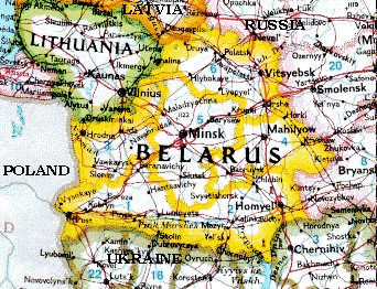
Belarus is a country of 10 million people in the Eastern
Europe. It is landlocked between Russia, Poland, Ukraine, Latvia and Lithuania some 100
miles South-East of Baltic Sea. Here are some
recent CIA maps of Belarus stored in the library of the University of Texas.
Political
map of Belarus (1997)
Shaded
relief map of Belarus (1997)
Minsk - the capital of Belarus
Interactive
on-line map of Minsk - sort of Yahoo maps
Large scale Minsk auto road map
Minsk Metro (subway) map according MetaSubway
Automobile road maps of Belarus
North (Vitsebsk)
North-West (Hrodna-Vilnius region)
Central, Eastern and South-Eastern (Minsk, Mahilyow
and Homel)
Railway Road Maps of Belarus
North (Vitsebsk)
North-North-West (Lida-Vilnius region)
North-West (Hrodna region)
Central, Eastern and South-Eastern (Minsk, Mahilyow
and Homel)
Minsk suburban trains map
and 2005
schedule, also 2005
long distance train schedule
Historical maps of Belarus
Slavic tribes - the Belarusians' ancestors - and their
territories in the 9th - 12th c.
Map of
principalities of Polacak, Turau, Navahradak and Smalensk - the first states on the
territory of modern Belarus in the 9-11th cc. (310 k)
Great Duchy of
Litva (Lithuania) in the 13-15th cc. (220 k)
Great Duchy of
Litva (Lithuania) in the 14-15th cc. (385 k)
The battle of
Gruenewald on July, 15, 1410
Belarus at the end of the XVI c.:
A
collection of 8 historical high resolution maps donated by Mr. Alexander
Kokosha and Sviaty Kryzh digital restoration & publishing house. See
also here entire image directory
with images. These are large hi-res files - be patient.
A
map of the Kingdom of Poland and Grand Dutchy of Lithuania including
Samogitia and Curland, divided according to their dismemberments, with the
Kingdom of Prussia. By Willm. Faden, Geographer to the King, M DCC XCIX.
London, published by W. Faden, Geographer to the King & to H.R.H. the
Prince of Wales, Charing Cross, April 2d, 1799. 2d edition. It's a
hi-res large file - be patient. Donated by Mr. Alexander Kokosha and Sviaty
Kryzh digital restoration & publishing house. See also more descriptions
here.
Great Duchy of
Litva (Lithuania) in the 17th c. (350 kB.)
Map showing
towns in the Grand Duchy of Litva which enjoyed home rule
War between
Moscow and the GDL (1654-1667) (420 k)
Belarus in the
middle of the XVIII c. (342k)
Map of city of
Slucak (Slutsk) in 1799 (129k)
War between Russia and Napoleon in 1812:
Belarus at the end
of the XIX c. (488k)
Fragment of an
ethnographical map of the Slavic world by Pr. Niederle, early 20th c. (164k)
Belarus in
1918-1920 - during German-Soviet and Poland-Soviet wars (429 k)
Belarusian
Democratic Republic in 1918 (195k)
Growth of the
Belarusian Soviet Socialist Republic (BSSR) in 1921-26 - transfer of territories with
Belarusian population from Russia to BSSR (within USSR) (240k)
West Belarus
under Polish power in 1922-39 (352k)
Belarusian
Soviet Socialist Republic in 1940 (580 k)
Belarus during the WWII:
Belarusians in
north-east of Poland in 1993 (437k)
The old map of the Grand Duchy of Lithuania lands -
Belarus and Litva (Lithuania) - as part of the Russian Empire. The map was published with
the permission of the Russian Imperial Ministry of Internal Affairs in 1890:
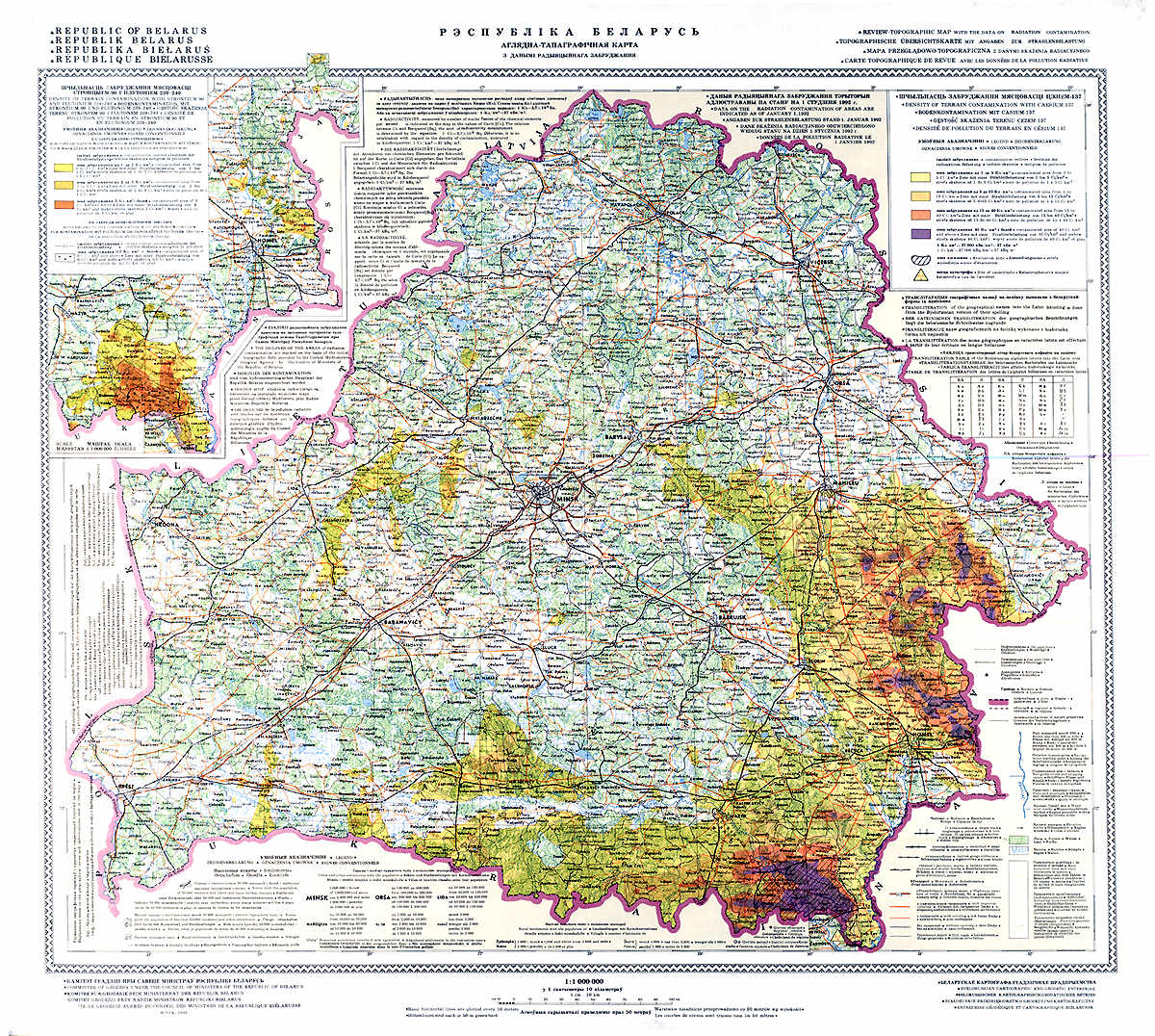
Chernobyl Radioactive Contamination of
Belarus
The map
of radioactive contamination from CIA at University of Texas
Also this Chernobyl radioactive
contamination map (click to see larger image):

|
|


